Location
Whorlton Village Community Association and Village Hall

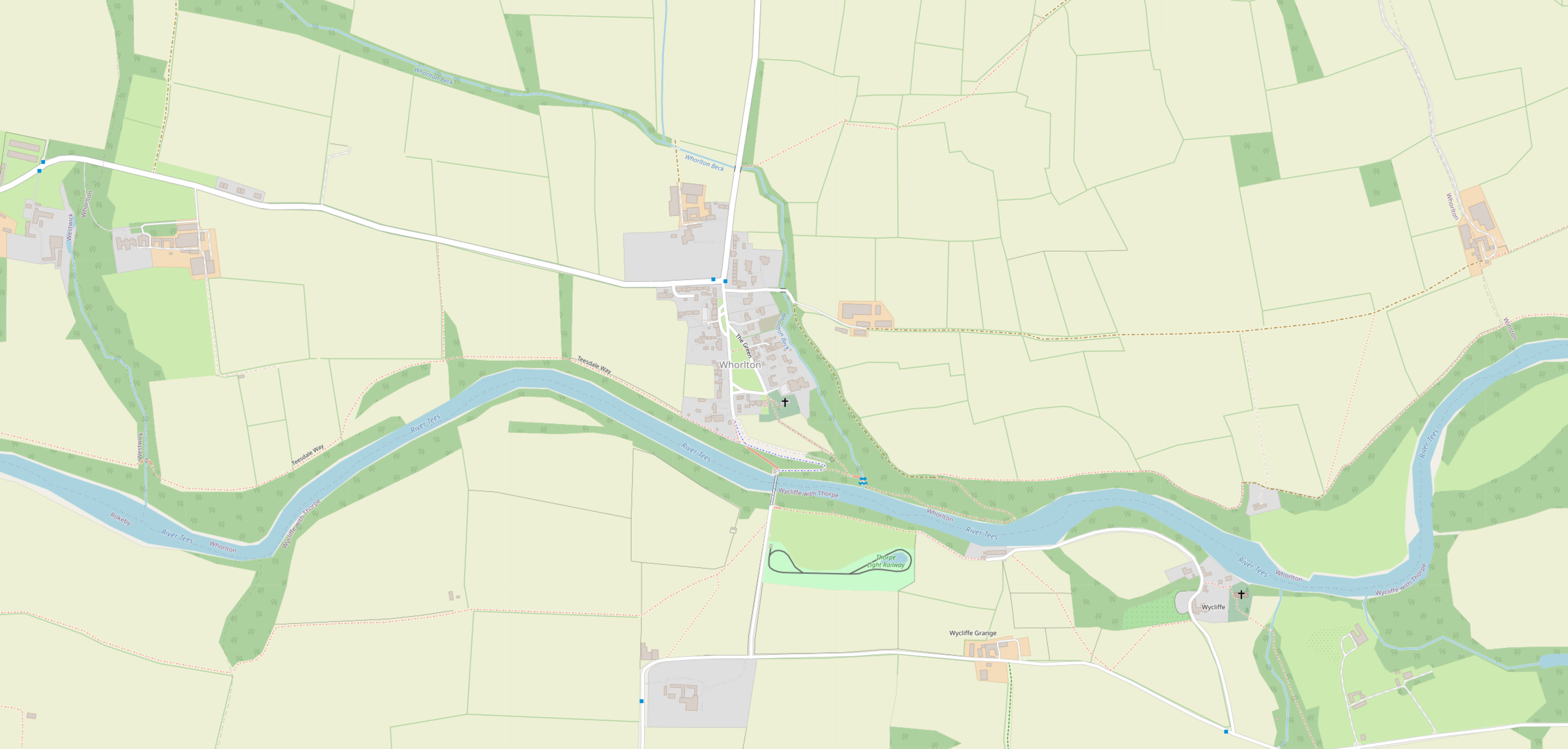
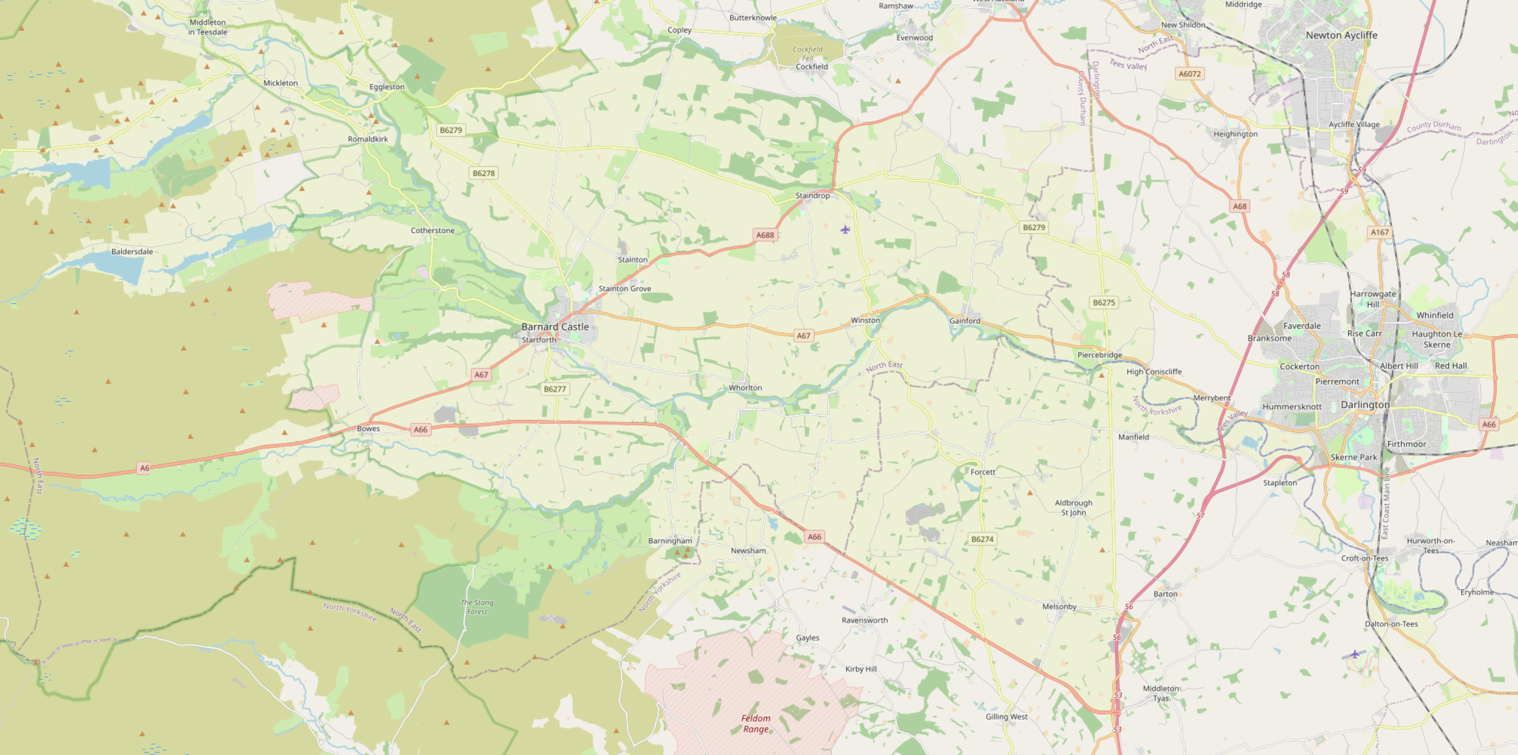
Location of Whorlton Village
The peaceful and picturesque village of Whorlton is located 3 miles east of Barnard Castle in Co. Durham and overlooks the River Tees with its overhanging cliffs. The Tees is crossed at this point by an iron suspension bridge (Whorlton Bridge), erected in 1830-31, with a span of 180 feet.
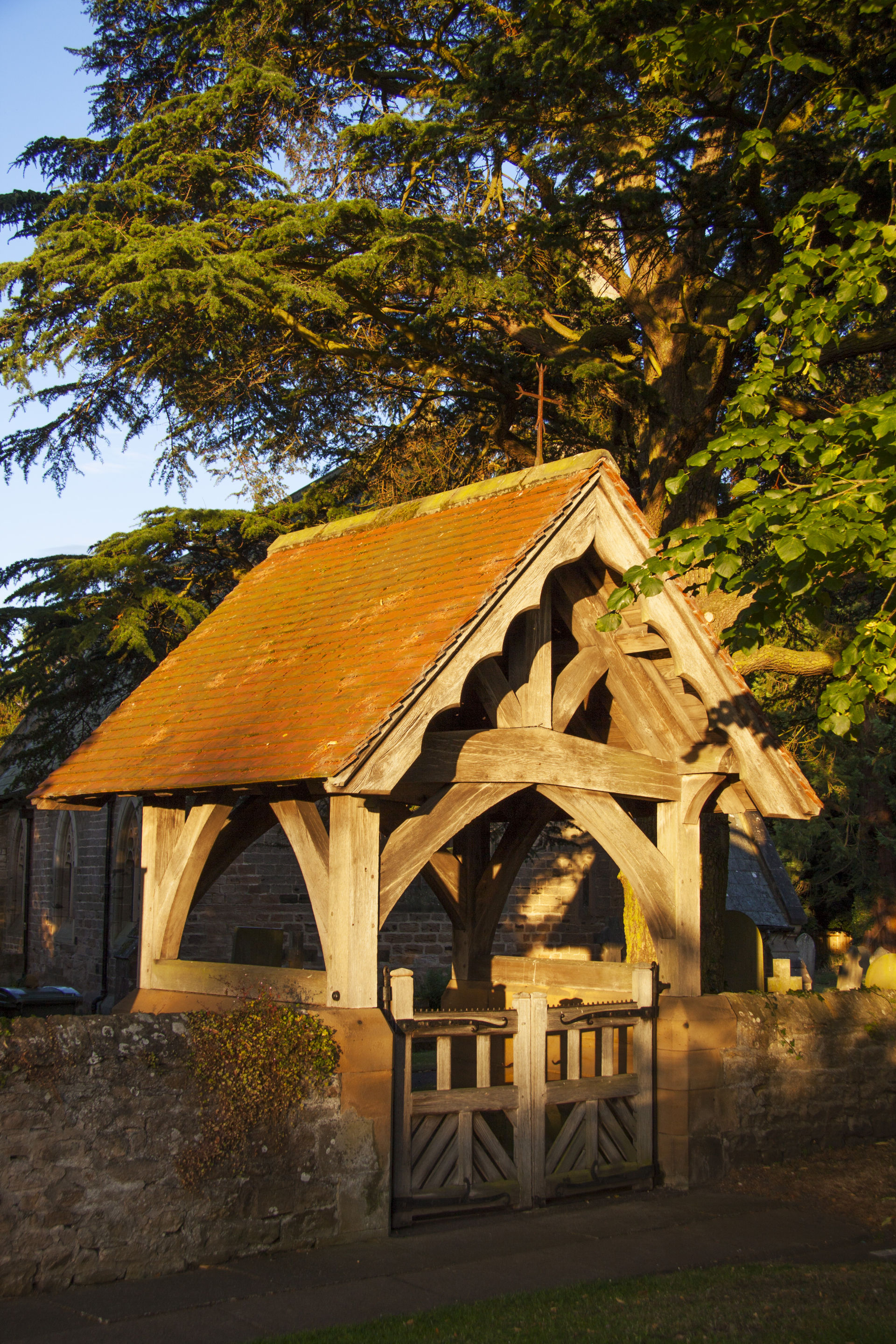
The village is sandwiched between the main A66 and A67 roads. Access to the village from the south (A66) is restricted to 6' 6" and also a weight limit is imposed on Whorlton Bridge. There is also a very sharp hair-pin bend between the bridge and the village itself. The north of the village has the Fernaville's Rest, whilst in the south east corner is located St. Mary's Church and the Village Hall.
The Teesdale Way passes through Whorlton and crosses Whorlton Beck to an area of flat rocks with spectacular views overlooking the River Tees. There is a Care Home in Whorlton Hall, owned by the Danshell Group, located to the south east of the village green (behind St. Mary's Church).
Click the top map below to see Whorlton within Google Maps. For footpaths please click the bottom map.
Location Map of Whorlton Village
Footpaths in and around Whorlton Village